ML / Done
Aerial Image Segmentation
Overview
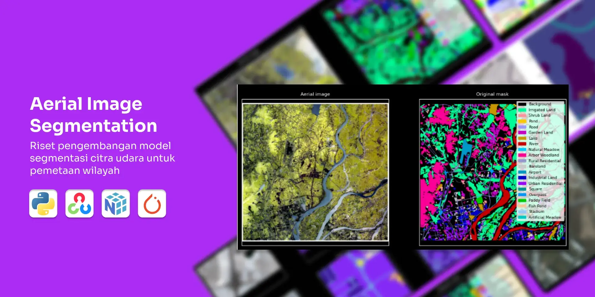
Research prototype for my university UAV team: deep-learning segmentation of aerial imagery, satellite and drone, into buildings, roads, and vegetation for geospatial mapping. Built with PyTorch on 500+ annotated images.
Challenge
Key challenges included handling variations in image resolution and lighting conditions, developing accurate segmentation models with limited annotated datasets, and optimizing model performance on resource-constrained hardware.
Result
The research produced a prototype segmentation model based on deep learning, demonstrating promising accuracy on a limited test dataset. It provided valuable insights into the challenges of aerial image segmentation and recommendations for future development, such as data augmentation and model fine-tuning.
Key Statistics
6 hours on entry-level GPU
Training Time
500+ annotated aerial images
Dataset Size
Technologies
Computer Vision
-
 Python
-
 OpenCV
-
 NumPy
-
 COCO
Deep Learning
-
 PyTorch
Gallery
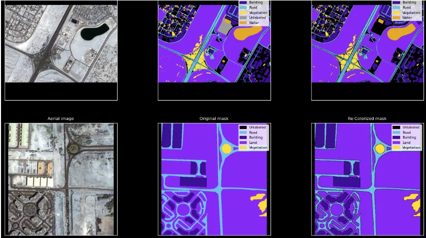
Sample Segmentation Results
Visualization of segmentation masks for buildings and roads on aerial imagery.
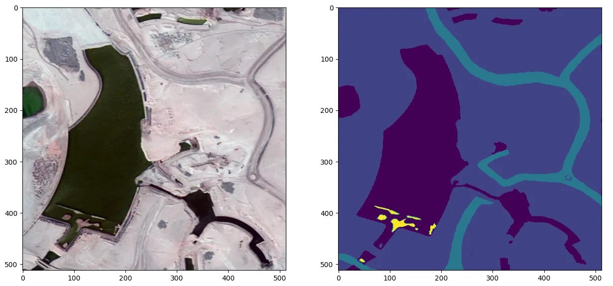
Sample Ground Truth Results
Visualizing sample of ground truth annotations.