ML · Done
Aerial Image Segmentation
Overview
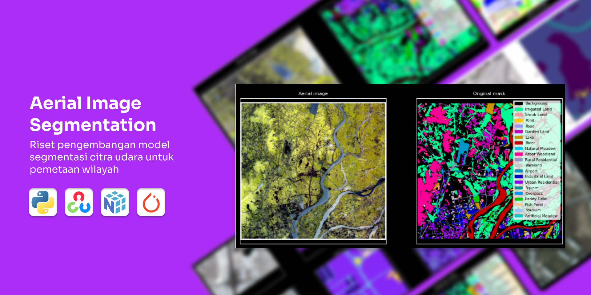
This research project explores aerial image segmentation techniques using computer vision and deep learning to map geographic features from satellite or drone imagery for my UAV Team's research at the University. The focus was on developing segmentation models to detect and classify objects such as buildings, roads, and vegetation, providing insights for geospatial analysis.
Challenge
Key challenges included handling variations in image resolution and lighting conditions, developing accurate segmentation models with limited annotated datasets, and optimizing model performance on resource-constrained hardware.
Result
The research produced a prototype segmentation model based on deep learning, demonstrating promising accuracy on a limited test dataset. It provided valuable insights into the challenges of aerial image segmentation and recommendations for future development, such as data augmentation and model fine-tuning.
Key Statistics
6 hours on entry-level GPU
Training Time
500+ annotated aerial images
Dataset Size
Technologies
Computer Vision
Deep Learning
Gallery
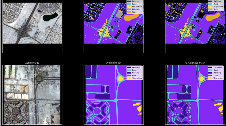
Sample Segmentation Results
Visualization of segmentation masks for buildings and roads on aerial imagery.
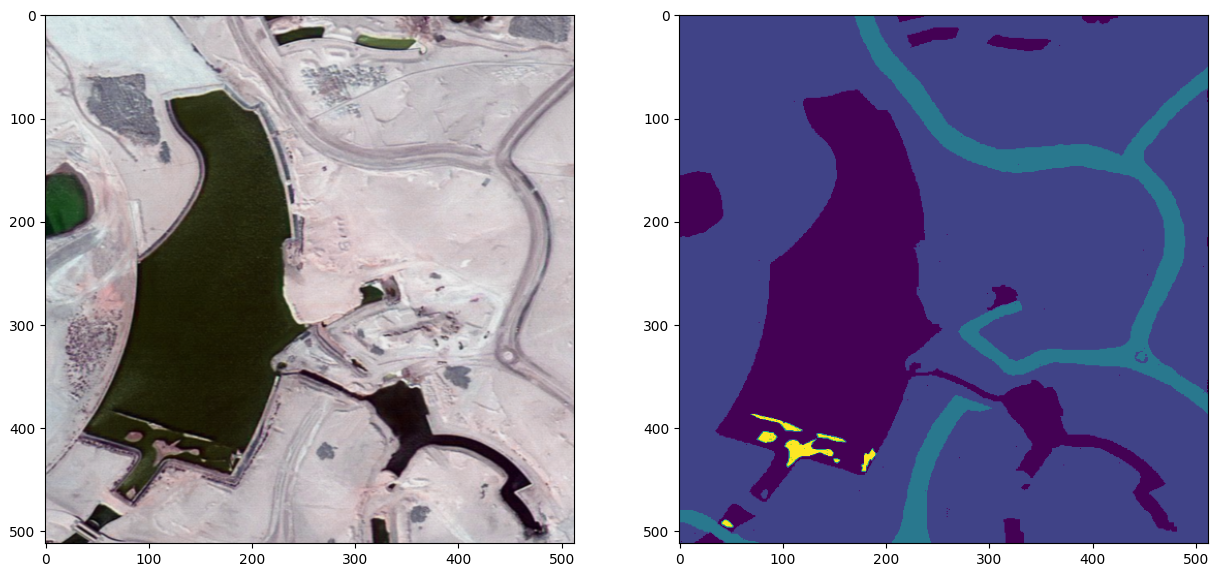
Sample Ground Truth Results
Visualizing sample of ground truth annotations.